Select from list below to jump to a specific area on this site.
| Latest Posts |
Monday, January 29, 2024
Belcarra Mountain - via Springboard Trail, November 2022
Belcarra Mountain is the highpoint of the peninsula separating the mouth of Indian Arm from the eastern end of Burrard Inlet. While there are no views from the summit proper thanks to it being forested, there's a rocky outcrop nearby with great views (apparently) overlooking the area where Burrard Inlet turns into Indian Arm. I say "apparently" because fog robbed us this view, despite it finally burning off shortly before sunset. Interestingly, the summit area was free of fog, but the short descent to the lookout brought us below the cloud deck. Bummer! To make things more interesting, we made a loop approaching via Springboard Trail then right onto a lesser defined trail up n' over the summit and lookout, and returning via the 1986 World Round Hill Loop and Admiralty Point Trails. Anyway, no great objective but something to do on a lazy November day and keeping it close to home. Wrapped it up with a pit stop at Yellow Dog Brewing for apres!
Hunter Lookout - Hunter Lookout Road, November 2022
Hunter Lookout, Hunter Logging Road, Hunter Road Trail, whatever you choose to call it, is a glorified forest road near Mission, BC that culminates at a landing with a phenomenal view overlooking Stave Lake with Mount Robie Ried and Judge Howay rising conspicuously from the opposite shore. To get there, law abiding citizens must endure a boring walk along a muddy forest road about 4 km each way thanks to a gate and signs indicating that vehicular trespassing is prohibited. I wouldn't normally make a special trip for this, but it's all I could come up with to salvage the day after bailing on American Mountain near Hope, BC. Marginal snow coverage and annoying bushwhacking got the best of me, and by extension my hiking partner Kevin, despite the worst being behind us by that point. Live and learn. Went back for it the following May and had a much better time of it, but that's a story for another time.
Anywho, being pressed for daylight that November afternoon, I blew past the gate, conveniently ignoring the no trespassing signs and motoring up as far as the road would take us. As we were flying blind by this point, I missed the final left turn and instead proceeded into an active logging area with the sound of chainsaws and trees falling all around us. Should have been our first warning, but instead we parked and proceeded on foot in search of the lookout like a couple idiot tourists. Some views from here, but nothing close to advertised. A bunch of rubbish I was thinking to myself, and then right on queue a large truck pulls up the driver of which very much displeased with our presence. We leave immediately as commanded, but soon stop at a junction we suspected was the one we should have taken earlier. Parked here for some silly reason and hoofed the remaining ~1 kilometer of rocky road to reach the elusive lookout right at sunset. More idiot-tourist "oohs" and "aahs" action and posing for photos only to notice our "friend" in the big truck barrelling up the road towards us. We got a good talking to this time around and threatened to lock us behind the gate! Scurried down hoping not to draw his ire any further, adding insult to injury by badly rolling an ankle in the process of doing so...or in this case injury to insult!
Out on the not-too-distant Sunshine Coast, a short ferry ride and scenic drive away is Tetrahedron Provincial Park. Located within its boundary lies a collection of scenic lakes and smaller peaks with outstanding views of the Strait of Georgia and the valleys and peaks to the north. Though it isn't the tallest in the park, that distinction goes to the park's namesake Tetrahedron Peak, Mount Steele is probably the most popular objective here. It makes for a great shoulder season hike, with a trail all the way to the summit and a couple nice backcountry cabins found along the way.
I set out for Steele on a freezing November morning from the upper 4x4 parking lot, saving myself a couple kilometers of road walking (round-trip). The first part of the hike follows an old road dubbed the Edwards Lake Trail to reach a junction near said lake in about 3 kms. Then contoured around the north side of the lake soon passing Edwards Cabin. A trail crew was working on restoring a footbridge just beyond, after which I didn't see anyone else for the rest of the way up. Snow became deeper after the footbridge and the steps I had been following soon stopped. But the way forward is obvious, essentially parallelling the creek that comes down from the Hippo-Steele saddle above. Up from this saddle along Steele's west shoulder to reach a large bench along the edge of which sits the Mount Steele Cabin (door was locked).
Finally, up along the WNW shoulder to reach a higher saddle just below the summit. Snowshoes helpful for the final steeper bit to the top and from where I enjoyed great 360-degree views! Out towards Sechelt and the Salish Sea beyond, east/southeast to Tetrahedron and Panther Peak, northeast to the Tantalus Range, north over upper-Salmon Inlet/Clowhom Lake with Jimmy Jimmy peeking in distance, and so much more I can't identify. Back to the truck for a total of about 17 km round-trip, taking in the sunset from Hwy 101 outside Sechelt and watching whales blow and breach from the shore for some Nature Channel action to complete the day!
October Forest Fires - North Cascades, October 2022
Way overdue in posting these up, but here are 7 shots taken during a flyover the North Cascades en route to MSP International in mid-October '22. Forest fires that had been burning for a month or more reached their peak in October that year thanks to the persistent warm and dry weather. Photos show the North Cascades inundated with smoke from the Puget Sound Basin in the west to the east slopes and beyond. Bordering a smoke-filled Chilliwack Lake/Valley one can make out the Redoubt-Spickard Group with Challenger Glacier and Picket Range visible further south. A similar trend occurs a bit to the east over Ross Lake, also overflowing with smoke with the Hozameen Range peeking at left, and Jack Mountain visible further south. The final few shots show a couple enormous flammagenitus clouds from fires burning in what appears to be the Pasayten Wilderness area. It wasn't until the return of the autumnal rains in November that these fires were eventually doused for good. No smoke in
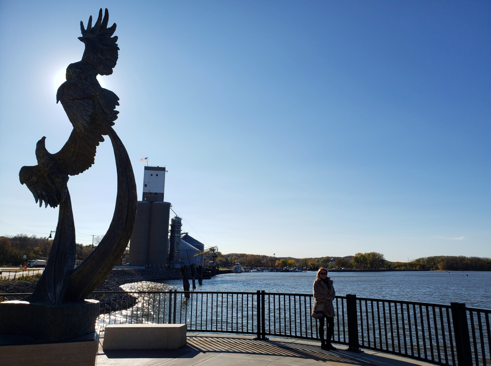
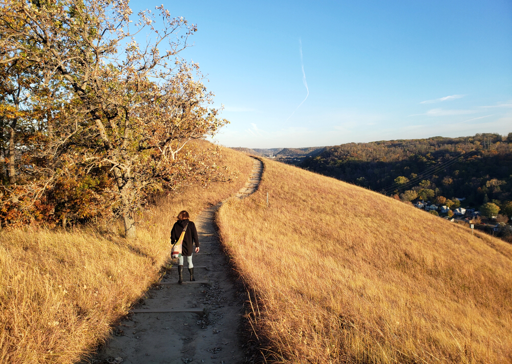
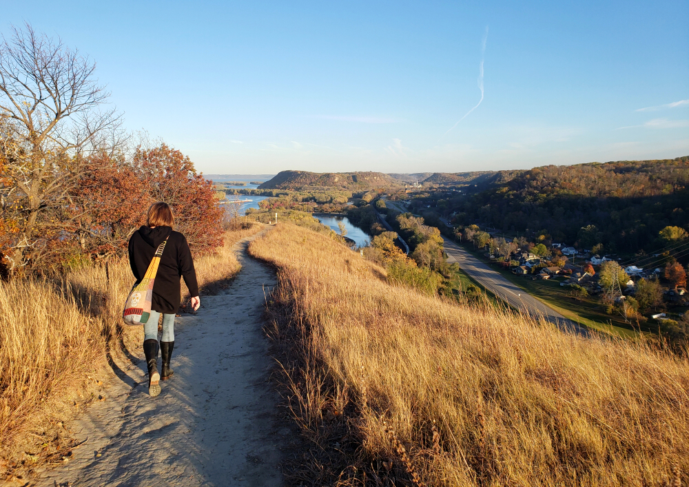
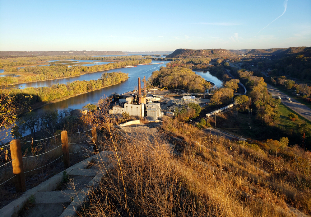
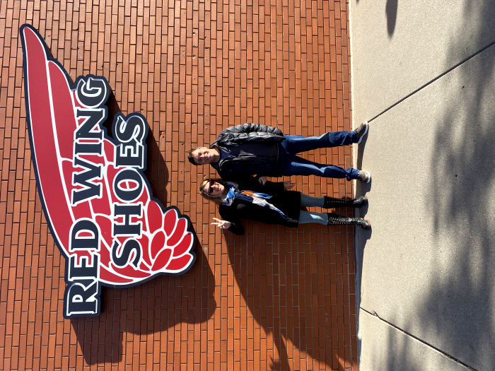
Red Wing, MN thankfully and considerably colder temps!
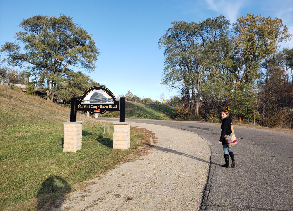
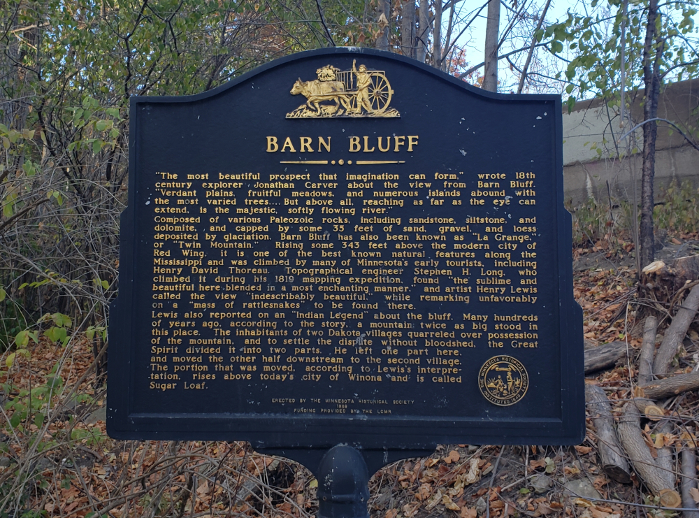
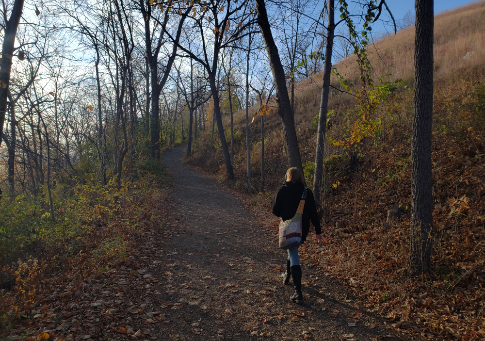
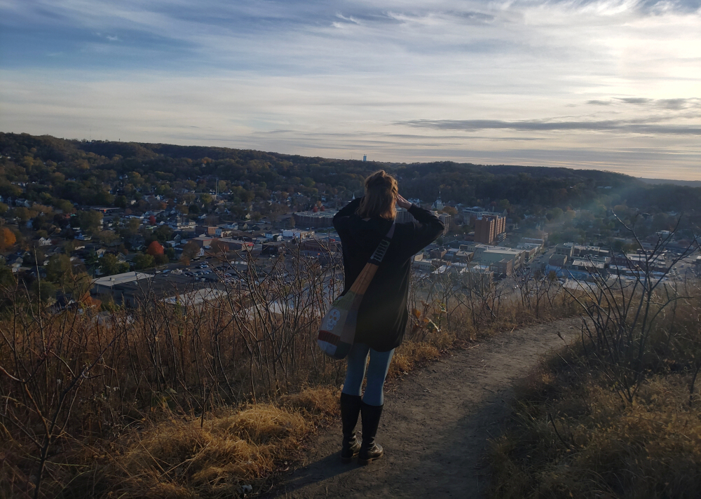
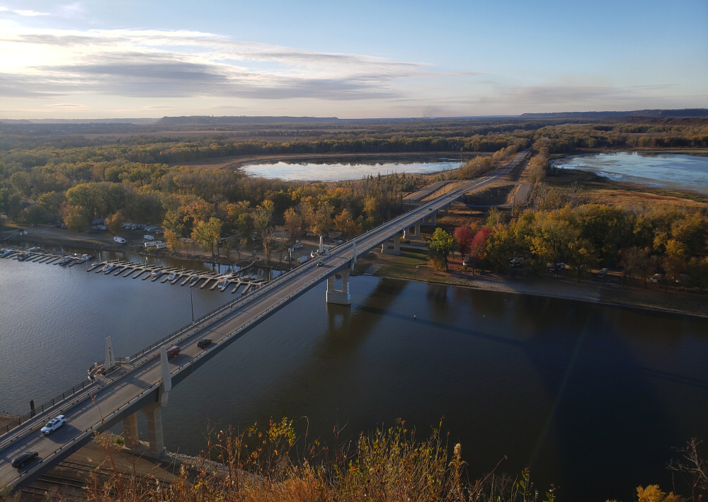
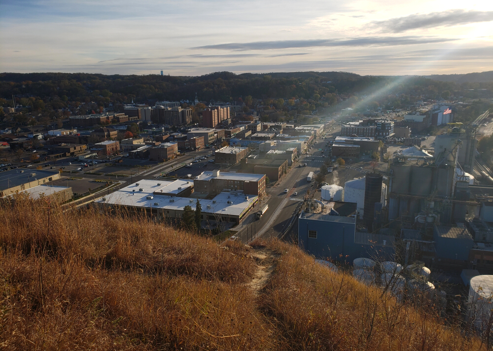
barnbluffbarnbluffbarnbluffbarnbluffbarnbluffbarnbluffbarnbluffbarnbluffbarnbluffbarnbluffbarnbluff
Cougar Mountain - Cougar Mountain Trail, October 2022
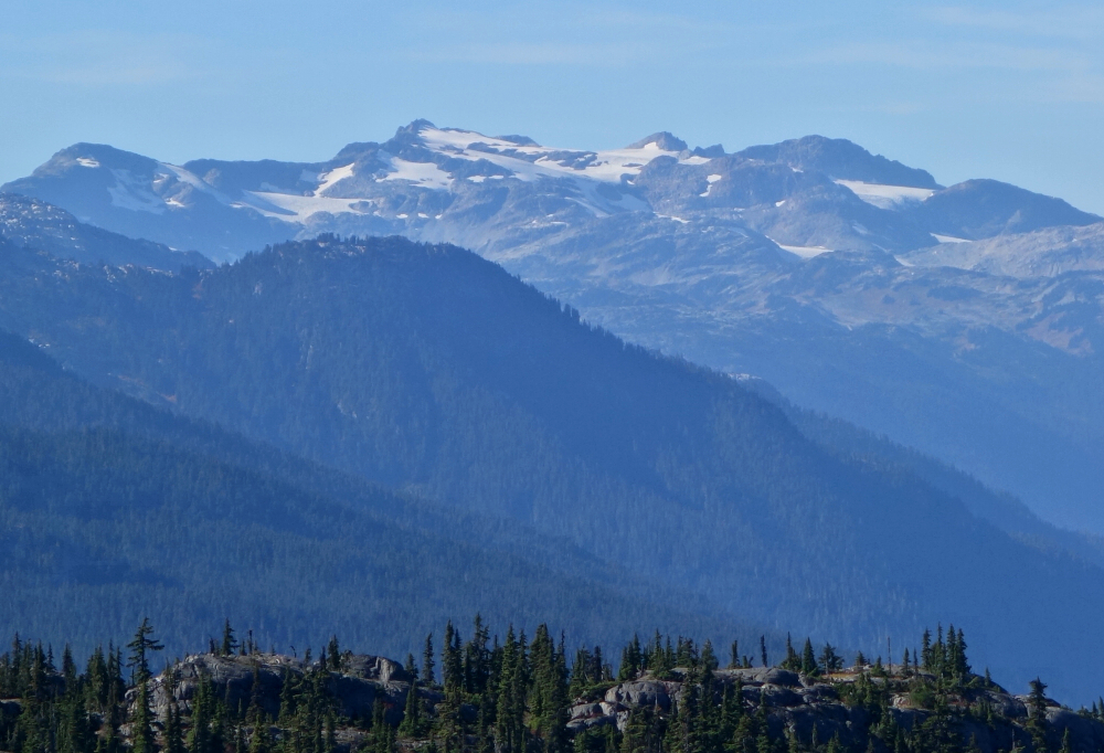
Cougar Mountain is a little piece of nothing tucked away in the S2S Corridor with outstanding views of the nearby giants. It's all I could come up with for a yet another unseasonably sunny and warm October day of hiking with puppers without too much distance/vert or the need for driving very far. Starting right off the highway behind the Whistler Village sign at the north end of town, a reasonably well-traveled trail heads up through pine forest to eventually reach a subalpine-to-alpine transition zone characterised by sandy granitic ridges and domes. The trail vanishes here, but the continuation is obvious. Two "summits" of equal height appeared before me (west & east), separated by a minor col. I chose the east summit directly before me as it reportedly offers better views. With Pepper now in my arms, I contoured along the base of a final headwall in search of a reasonably easy way to scramble up with just one arm. This I managed, albeit with some difficulty and having to place her down on small ledges while I freed my other arm to make a move. Fortunately, she's used to such shenanigans, and waits patiently for me in these situations. Up through the steep bit in short order followed by some lower angled slabs to reach the summit.
And there we were, just barely above treeline gawking at all the marvelous looking peaks surrounding us! Mount Currie to Wedge, the Whistler peaks (plus Green Lake) and south to Garibaldi, east to Rainbow, north to Ipsoot and even a view towards the Pemberton Valley. Not too bad for such an otherwise lowly peak, although for the effort I'd recommend neighboring Sootip over this one. Briefly considered heading over to the west summit but thought "meh" we're good and slowly made our way back down. Kinda lost the trail a few times where it crosses rocky outcroppings before descending into forest proper, but Pepper with her keen sense of smell was always quick to set us back on course. Who needs GPS when you have a dog's nose to guide you back home!
It would be very much appreciated if you please ask before copying and/or re-publishing content from any part of these pages. To do so, please click here to send a message via feedback form.


